EOS-05: Inside India’s First Geosynchronous Imaging Satellite and the 24/7 Border Stare
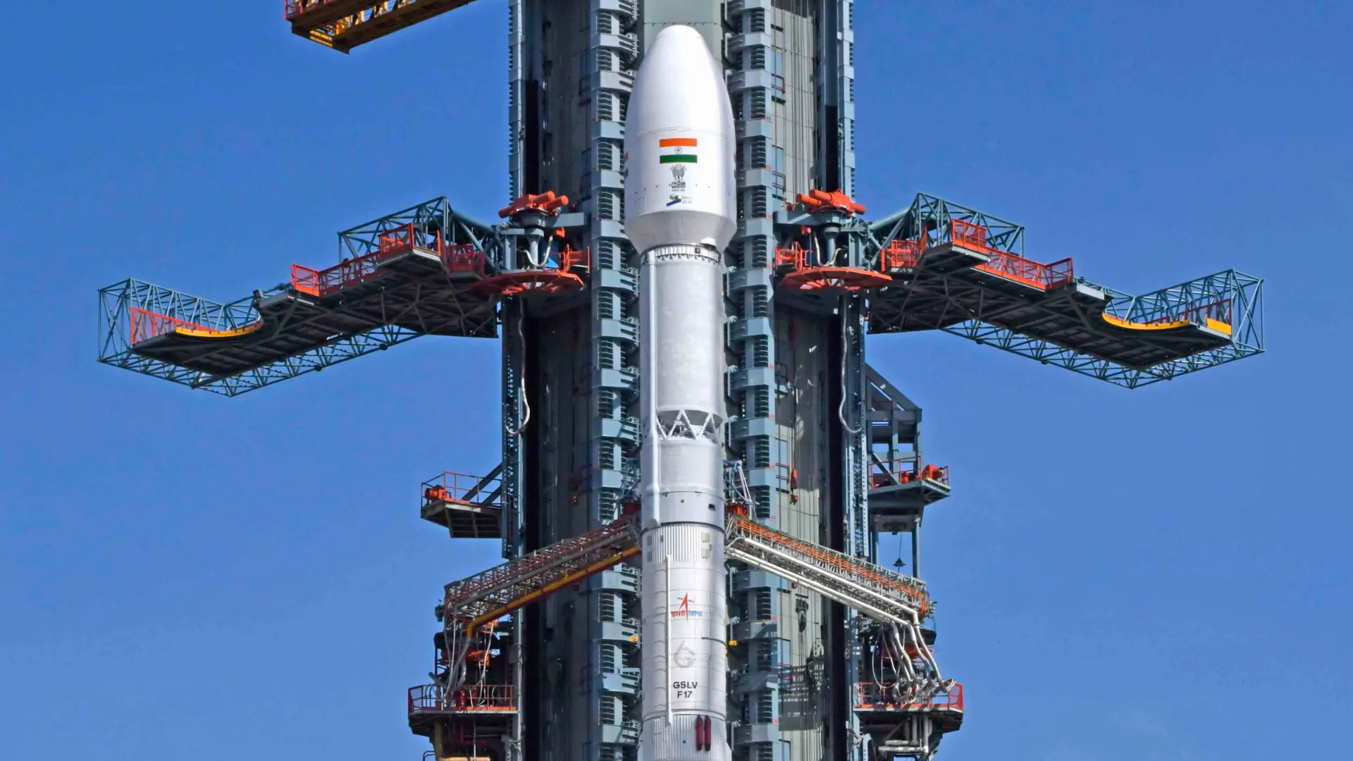
EOS-05: Inside India's First Geosynchronous Imaging Satellite and the 24/7 Border Stare

Deploying an operational geosynchronous imaging satellite fundamentally changes Himalayan deterrence. While Low Earth Orbit platforms suffer from multi-day revisit latency, EOS-05 locks a permanent electro-optical…
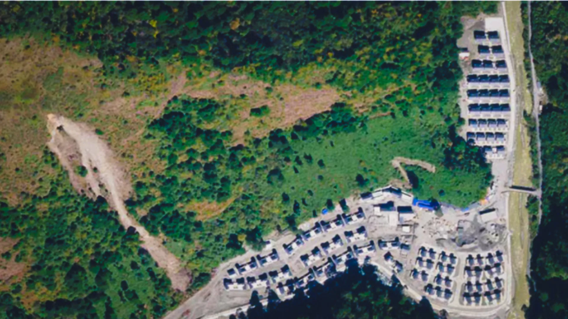
China’s Xiaokang Villages Along Arunachal Pradesh: What the Satellite Imagery Shows

China's Xiaokang Villages Along Arunachal Pradesh

Open-source GEOINT analysis China’s Xiaokang Villages Along Arunachal Pradesh What has changed over the last decade, what the infrastructure reveals, and what it could mean…

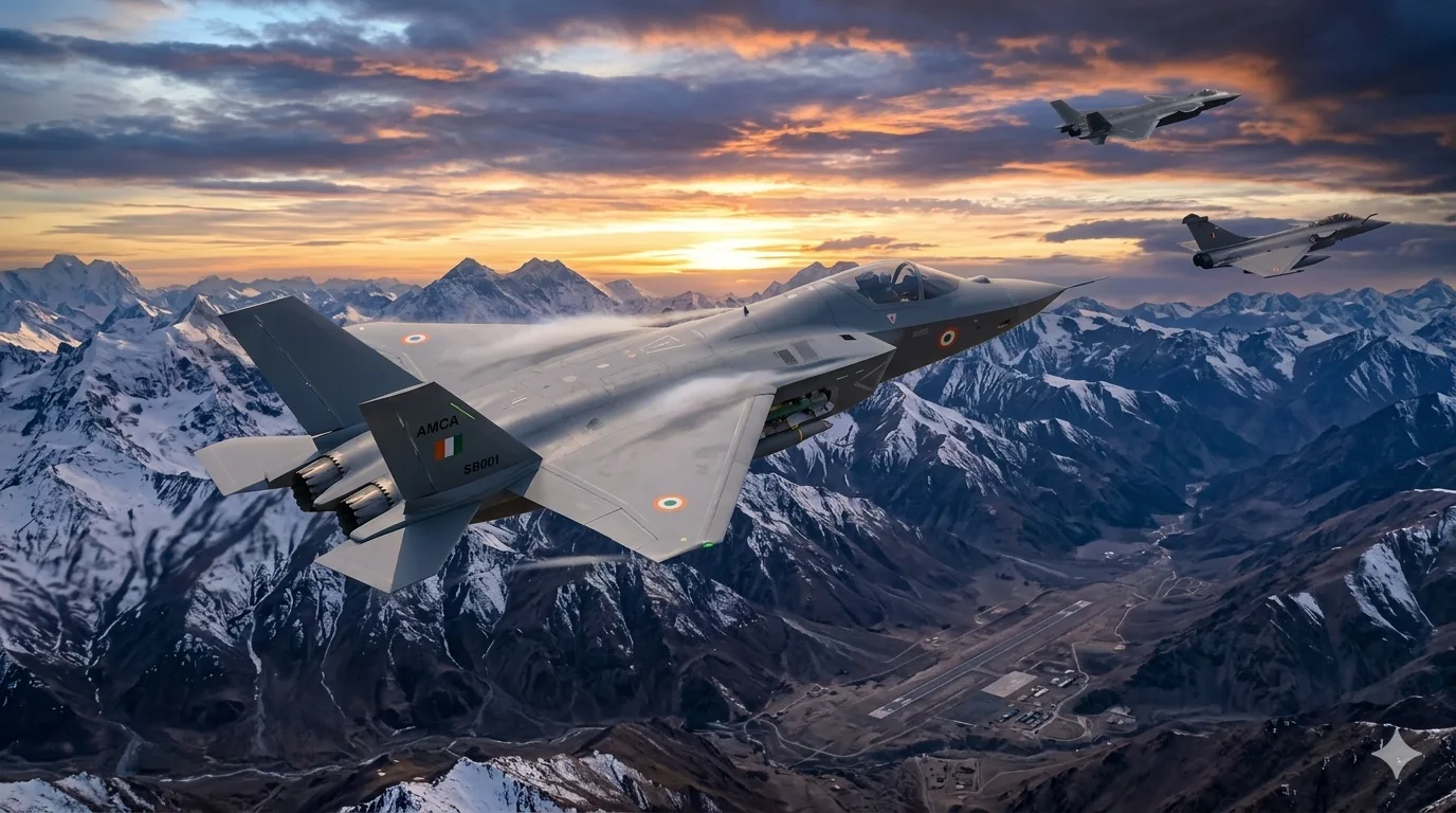
Countering the PLAAF’s J-20s at the LAC: Inside India’s Puttaparthi AMCA Production Hub

Countering the PLAAF’s J-20s at the LAC: Inside India's Puttaparthi AMCA Production Hub

The defining characteristic of India’s Advanced Medium Combat Aircraft (AMCA) is not its radar‑absorbent material, but its transition to a quadruplex distributed digital architecture. By…

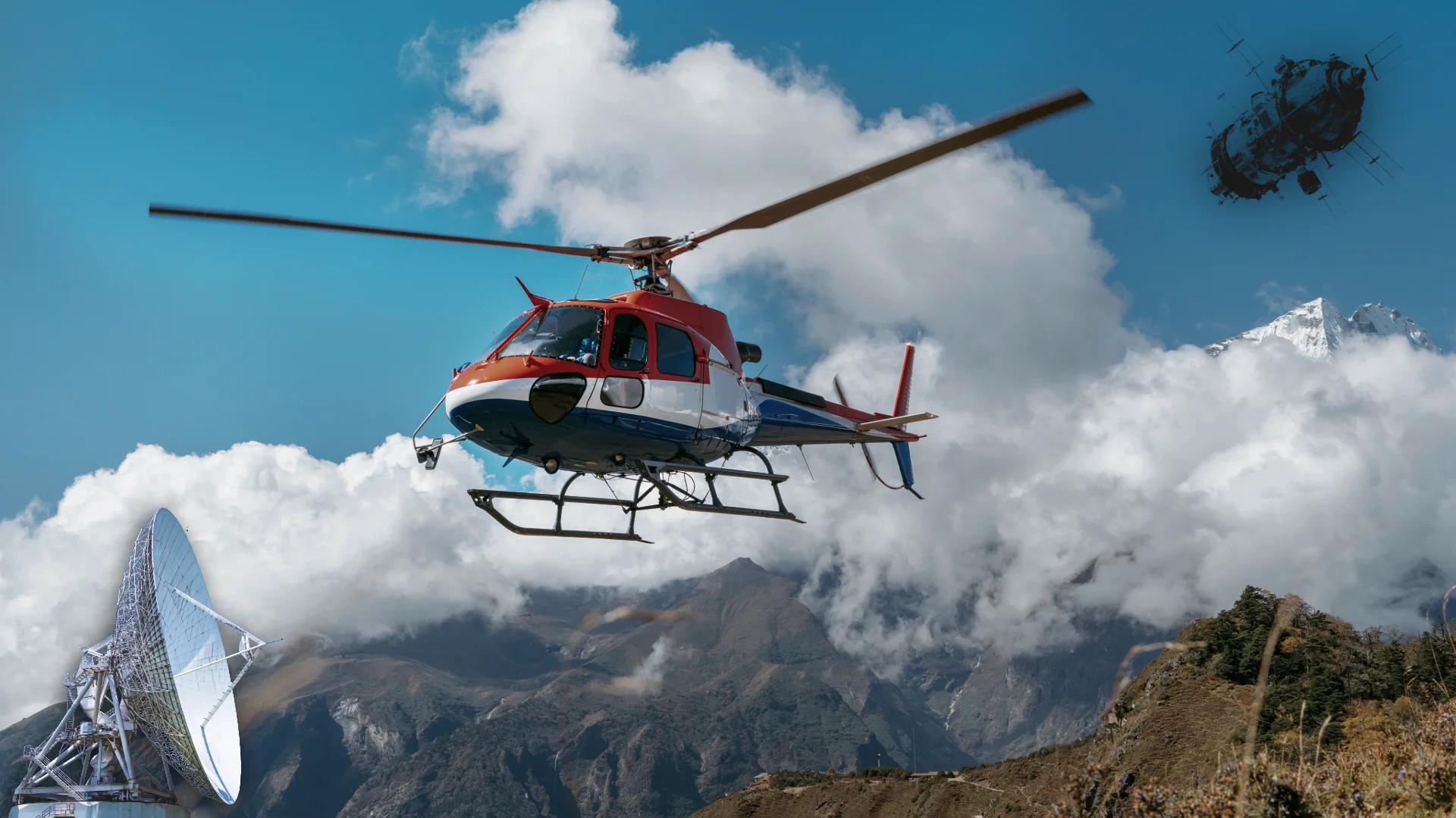
India Border Technology: How AI, Drones And Sensors Are Rewriting Frontier Security

AI Generated Image for Representation of AI-assisted surveillance and border security

Strategic Analysis | India Defence | Border Technology India’s Ministry of Defence has placed artificial intelligence, drones, cyber, space and faster military reform inside its…