
Why the waters between Africa and Australia matter more than most people realise
For most of history, empires were built and broken on land. Armies marched across plains, rivers marked borders, and mountain passes decided the fate of kingdoms. That contest has not disappeared, but the sharpest edge of twenty-first century power now runs through open water — specifically, the vast stretch of ocean between the eastern coast of Africa and the western coast of Australia.
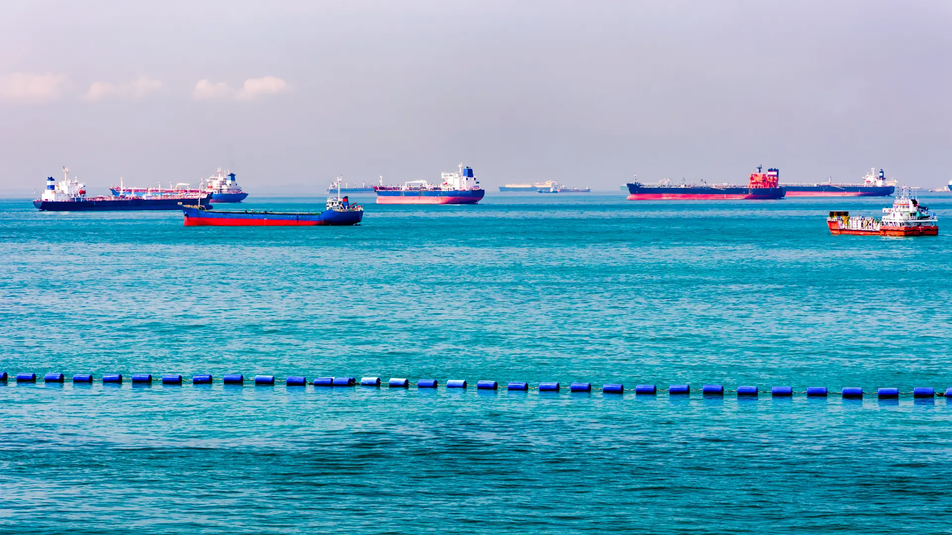
Most people never think about the Indian Ocean. There is no reason they should. It does not appear in daily headlines the way stock markets or elections do. Yet almost everything that keeps a modern economy running — crude oil, cooking gas, smartphones, fertiliser, medicine, cars — spends part of its journey crossing this ocean. When something goes wrong out there, the effects show up quickly and far from the coastline: a petrol pump in Pune, a factory floor in Shenzhen, a supermarket shelf in Rotterdam.
That is the case for taking the Indian Ocean seriously. Here is what makes it matter, and why India in particular cannot afford to look away.
Disrupted Shipping Lanes: A Lesson in Maritime Fragility
The past two years have offered a blunt lesson in maritime fragility. Attacks on commercial vessels in the Red Sea pushed many shipping lines to abandon the Suez Canal altogether, routing instead around Africa’s Cape of Good Hope — a detour that can add two to three weeks to a voyage and meaningfully raise freight costs. Around the same period, piracy off the Somali coast, which had eased over the previous decade, began showing signs of a comeback.
Neither development happened anywhere near India. Both were felt in India anyway, through freight rates, insurance premiums and delivery schedules. That is the nature of a globalised sea lane: trouble in one corner of it rarely stays local.
An Ocean Older Than the Country It’s Named For
The Indian Ocean was not named for the modern Republic of India — the ocean is far older than the country. For more than two thousand years before any European fleet arrived, monsoon winds carried ships on a predictable seasonal rhythm between East Africa, Arabia, India, Southeast Asia and China, in what many historians treat as the world’s first genuinely interconnected maritime economy.
70 Million Sq Km: The Massive Scale of the Indian Ocean
The Indian Ocean spans roughly 70 million square kilometres, making it the third largest of the world’s oceans after the Pacific and the Atlantic. More than 30 countries touch its coastline, and dozens more depend on it for trade or energy without bordering it at all.
For India, the dependence is close to total. According to India’s Ministry of Shipping, close to 95 percent of the country’s trade by volume, and roughly two-thirds of it by value, moves by sea. India also imports more than four-fifths of the crude oil it consumes, much of it arriving through the Arabian Sea after transiting some of the world’s tightest maritime pinch points. A serious disruption to any of these routes is not an abstract foreign-policy problem for India — it shows up directly in fuel prices and freight bills.
Chokepoints of Power: Hormuz, Bab el-Mandeb, and Malacca
Three chokepoints do most of the strategic heavy lifting: the Strait of Hormuz, through which a fifth of the world’s traded oil and gas passes; Bab el-Mandeb, the gateway between the Red Sea and the Gulf of Aden; and the Strait of Malacca, the narrow channel linking the Indian Ocean to the Pacific through which most trade with East Asia flows. Each is narrow enough to be closed, blockaded or contested by a determined actor, and each has been at the centre of a real crisis within the last few years. Control — or even just influence — over these three names goes a long way toward explaining naval strategy across the wider region.
Geography That Made India a Maritime Power Almost by Default
India’s coastline runs more than 7,500 kilometres, giving it frontage on both the Arabian Sea and the Bay of Bengal. The Andaman and Nicobar Islands sit close to the approaches of the Strait of Malacca, putting Indian territory within reach of one of Asia’s busiest shipping corridors.
Beijing’s ‘String of Pearls’ vs. New Delhi’s Maritime Calculus
China’s growing footprint in the region — commercial investment in Gwadar in Pakistan, the long lease over Hambantota port in Sri Lanka, and its military logistics base in Djibouti — is officially described in Beijing as support for trade and connectivity. Indian strategic planners tend to read the same facilities differently, as elements of a longer-term contest for influence and access across waters India considers its own neighbourhood. Both readings can be true at once: infrastructure investment and strategic positioning are not mutually exclusive.
India’s answer has taken shape gradually rather than dramatically. The SAGAR doctrine (Security and Growth for All in the Region), participation in the Quad, the annual Malabar naval exercise, and the Information Fusion Centre–Indian Ocean Region, which pools maritime domain awareness with partner navies, together form the backbone of India’s response. Coastal radar networks and the Andaman and Nicobar Command add a layer of persistent monitoring across the region’s approaches. None of this amounts to parity with China’s resources, but it reflects a clear shift in how seriously New Delhi now treats the maritime domain.
The Red Sea crisis gave this posture an early test. As shipping companies rerouted and insurance costs climbed, the Indian Navy stepped up deployments and began escorting merchant vessels through affected waters — a small but telling sign of how quickly a distant crisis can pull Indian assets into open water.
Beneath the Surface: Cables, Seabeds, and Grey-Zone Threats
Naval competition captures the headlines, but a quieter contest is unfolding beneath the waves. The Indian Ocean carries a dense network of undersea fibre-optic cables that handle a significant share of global internet traffic, and its seabed holds mineral deposits that are drawing early interest in deep-sea exploration. Damage or interference with cable infrastructure — whether accidental or deliberate — has already caused serious disruption in other parts of the world, and the same vulnerability exists here.
Above the waterline, the nature of the threat has also broadened. Illegal fishing, smuggling, cyber intrusions against port and shipping systems, intelligence gathering by rival navies, and sporadic piracy all fall under what analysts now call “grey-zone” activity — actions that stop short of open conflict but still require constant surveillance and coordination among regional navies to manage.
Climate change adds a further layer. Rising sea levels, more intense cyclones and coastal erosion threaten low-lying island states and Indian coastal communities alike, and humanitarian assistance and disaster relief have quietly become one of the Indian Navy’s more frequent missions in the region.
From Chokepoints to Household Budgets: Why Maritime Security Matters
It is easy to treat maritime security as a subject for admirals and diplomats. It is not. Fuel prices, the cost of imported goods, export competitiveness, and employment tied to ports, shipping and fisheries are all downstream of what happens in the Indian Ocean. A blockade at Hormuz or a crisis in the Red Sea does not stay confined to a shipping company’s balance sheet — it eventually reaches a household budget.
What to Watch
Three things are worth tracking in the months ahead. First, whether the fragile calm in the Red Sea holds, or whether renewed attacks push more shipping traffic — and cost — around the Cape of Good Hope again. Second, how China’s port investments in Gwadar and Hambantota evolve, particularly any signs of expanded naval access rather than purely commercial use. Third, whether India’s own maritime infrastructure push, including the Andaman and Nicobar Command’s modernisation, translates into a persistent forward presence rather than episodic deployments during crises. Each of these will shape whether the Indian Ocean remains merely strategically important or becomes the site of India’s next serious security test.